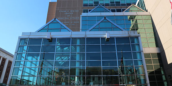
Description:
Accurately measure over 36,000,000 gross square feet in up to 840 buildings across the District of Columbia and development of AUTOCAD drawings with resulting data compatible with DGS’s ARCHIBUS database development project.
Hayat Brown’s Role:
Design the program and methodology for utilizing state-of-the-art 3D LiDAR scanning technology to obtain accurate measurements of all building elements and convert the 3D images to into 2D AutoCAD files for seamless integration with the District’s ARCHIBUS asset management platform.